17/02/2020 | Return to Latest News
a small satellite to collect big data on sea ice and ocean conditions
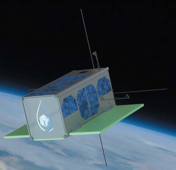 C-CORE is partnering with Memorial University’s Faculty of Engineering and Applied Science to design and build Newfoundland and Labrador’s first Earth observation satellite, a cubesat about the size of a one-litre milk carton, known as Killick-1.
The four-year project is funded by the federal and provincial governments. Newfoundland and Labrador’s Department of Tourism, Culture, Industry and Innovation is providing $200,000 through its Leverage R&D program, while the Canadian Space Agency is providing $200,000 through its Canadian CubeSat Project which offers Canadian post-secondary students the opportunity to create their own small satellites.
Concept design and definition of the cubesat’s mission have been completed. The detailed design and building phases began in Fall 2019. When complete in 2022, Killick-1 will be launched from the International Space Station.
The satellite will use Global Navigation Satellite System (GNSS) reflectometry to collect ice and met-ocean data. This involves receiving direct and reflected signals from GPS satellites to measure geophysical features of the ocean such as temperature, salinity and wave height.
The ocean plays a huge role in the global climate system and hosts a broad range of human activities; therefore, good knowledge of our oceans is critical. Killick-1 will operate in space with a low environmental footprint, safely gathering observational data to advance understanding of our planet and mitigate risk to people and the environment.
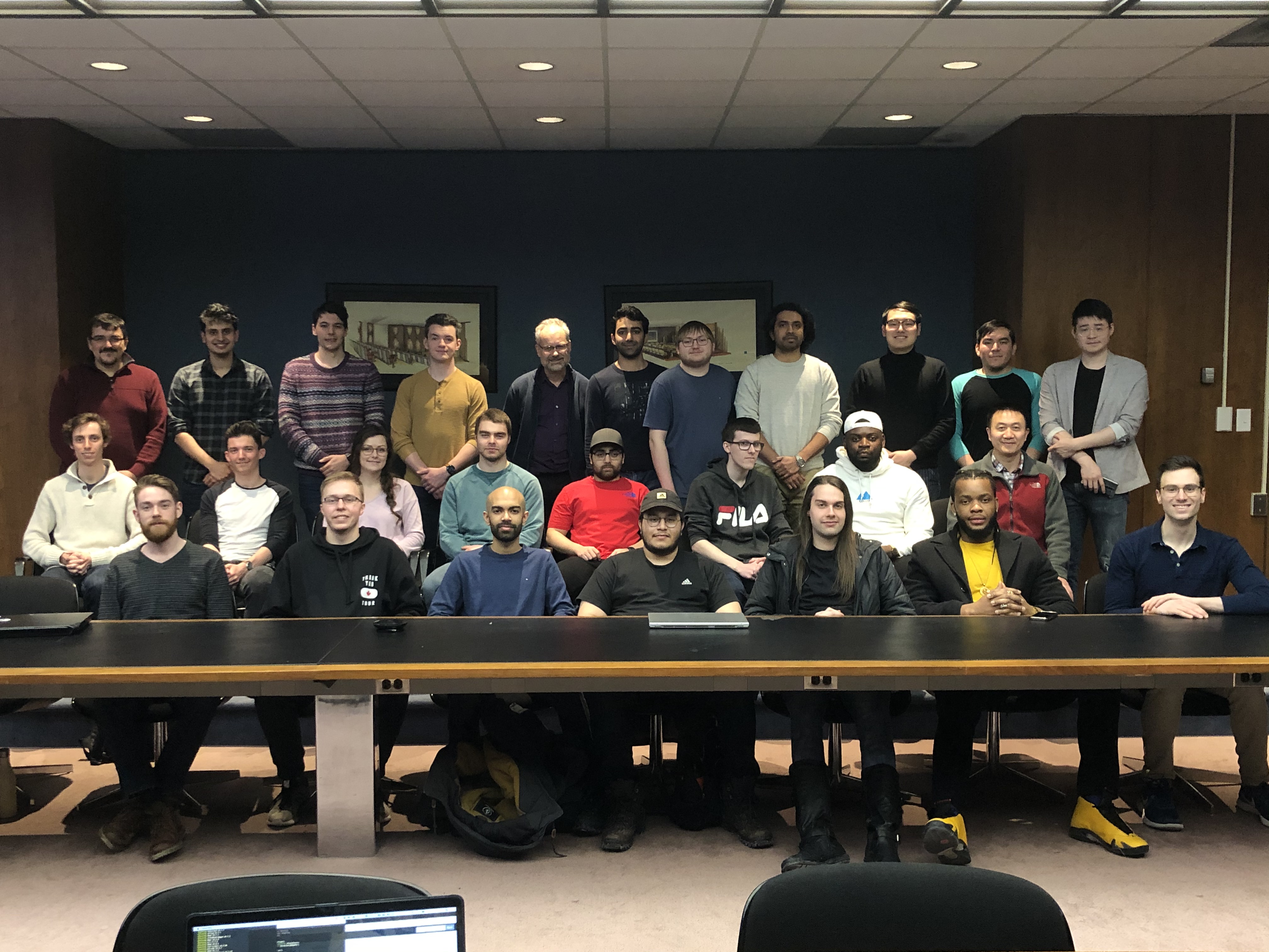 Currently, more than 40 graduate and undergraduate engineering students are involved, designing the cubesat structure, power management, communications, command and control, and payload.
Memorial’s Dr. Weimin Huang and C-CORE’s Desmond Power are the project’s principal investigators. Dr. Huang has previously successfully applied GNSS technology for detecting oil spills on the sea surface, detecting sea ice, and estimating sea-ice concentration. Power, C‑CORE’s Vice President of Remote Sensing, has over 25 years experience in developing both hardware and software for satellites.
C-CORE pioneered the use of satellite radar imagery to detect and measure iceberg features and has been developing innovations in the use of radar for sea ice mapping over the past two decades. The organization has extensive expertise in all aspects of remote sensing, developing everything from advanced signal and image processing technologies to transponder and ground receiving station designs. These technologies have had diverse applications ranging from the monitoring of ice build-up to supporting search and rescue operations.
The Killick-1 project will contribute significantly to the development in this province of highly qualified personnel in space systems and Earth observation. These are inter-related emerging fields of expertise in the evolving global trend of big data analytics to support business, industry and public policy decisions. Over the course of the project, over 40 senior engineering undergraduates, two Master of Engineering candidates and one PhD candidate in Electrical Engineering are expected to be involved.